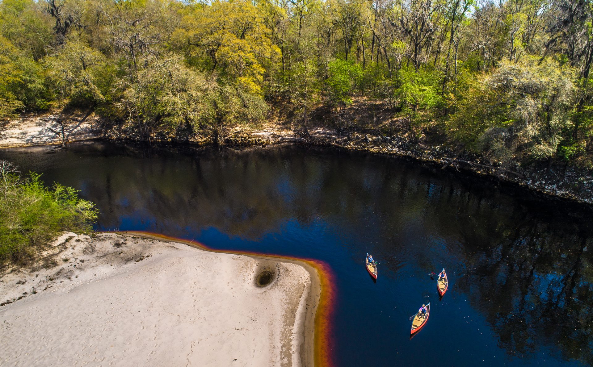
SUWANNEE
Upper Suwannee descending to Lower Suwannee
Roline
30 33.85′ – 82 43.51′
Turner Bridge
30 31.46′ – 82 43.69′
Cypress Creek
30 30.46′ – 82 43.01′
Cone Bridge
30 26.71′ – 82 43.01′
Big Shoals Tract
30 21.19′ – 82 41.24′
Suwannee River Wayside Park
30 19.55′ – 82 44.33′
Gibson Park
30 26.26N – 83 05.61’W
Stephen Foster
30 19.63 – 82 46.17
Woods Ferry
30 21.72′ – 85 52.11′
Suwannee Springs
30 23.66′ – 82 56.06′
Spirit of the Suwannee
30 24.36′ – 82 56.95′
WITHLACOOCHEE
GA 31 Ramp
30 38.16, -83 18.68
Sullivan Launch
30 35.74, -83 15.60
Madison Blue Springs State Park Launch
30 28.85, -83 14.65
Withlachoochee Ramp
30 27.92, -83 13.44
CR 143 Ramp
30 26.95, -83 13.28

ALAPAHA
Alapahoochee Launch
22.0 | 30.98, -83 04.38 |
from Jennings, travel east on CR 150; cross the Alapaha River; turn left onto NW 72nd Court and follow to the river.
Jennnings Bluff Launch
17.0 | 30 34.79, -83 02.35 |
from Jennings, travel south on US 41 to NW 25th Lane; turn left; travel east to NW 82nd Court and the entrance into the Suwannee River Water Management District’s Jennings Bluff tract.
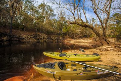
Canoe and kayak rentals, American Canoe Adventures 10610 Bridge St, White Springs (386)397-1309
For more information and paddling guides visit: SBA, mysuwanneeeriver.com or WWALS Watershed Coalition.